Age of buildings UK
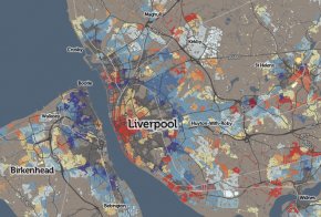 We don’t have individual building age open data in the UK, unlike in some other countries (the data has been used to great effect in New York City and Amsterdam) but the Valuation Office Agency, which amongst other things decides council tax bandings for residential properties, has published some interesting data on how old houses are in England and Wales – it’s their “dwelling ages” dataset. A separate governmental organisation, the ONS, publishes house prices summaries, at a relatively small-area* scale, on a quarterly basis for the previous year. I have combined both these datasets into a record on CDRC Data. and have mapped them both on CDRC Maps.
The dwelling age data is supplied grouped in approximately ten-year age bands (+ a Pre-1900 catch-all) with a count of the number of houses in each band, for each small area (LSOA) in England/Wales. I’ve mapped just the modal band, that is, the band with the most number of houses in it**. In some cases, houses were steadily built in an area throughout the 20th century, so that the band assigned to that area is not actually very representative of the houses there – this can be spotted by looking at the “Classif. %” number which appears on the right.
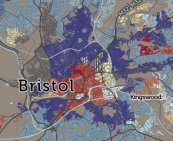
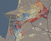
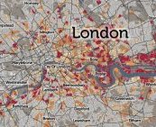
Many UK cities show a pattern of Pre-1900 inner-city (dark grey on the map), with early 20th century houses out towards the edge (lightening blues). The “Green Belts” of the 1940s stopped this radial outward development, so, some old housing was instead overhauled to build 1960s-70s housing estates (shown in yellow) and more recently, the urban core has seen much of the recent housebuilding activity. This shows up on the map as an area of red in the centre of many cities. There are some exceptions – Milton Keynes is a large, and new, town, its map showing mainly yellows and reds.
